
Engineering & Infrastructure
Rain City Infrastructure
Aerial reporting tracks Metro Vancouver’s changing transit systems, bridges, roads, public facilities, and major urban developments. Recent uploads return frequently to named projects such as the Surrey-Langley SkyTrain, Broadway Subway, Highway 99 Tunnel Program, and large Burnaby and Vancouver construction sites. It is a practical visual source for viewers who want regular, location-specific progress checks and a broader sense of regional growth.
Hidden GemEngineering & Infrastructure
Editorially reviewed:

Viewer engagementModerate engagement
Based on 20 recent videos
Assessed 15 September 2026
Editorial focusTransport Systems Construction Methods
Editorial note
WorthWatch verdict
Best for
Metro Vancouver residents following major construction and urban change
Strength
Clear aerial perspective on evolving transit, road, and redevelopment projects
Consider if
you value visual progress tracking over detailed project reporting
Recent videos
Latest from the source
2026, September 20 | Oakridge Park & Cambie Corridor Update
22 September 2026
2026, September 19 | Surrey-Langley SkyTrain Part 2 | Bakerview-166 St to Langley City Centre
20 September 2026
2026, September 18 | Highway 17 Off-Ramp OPEN | stal̕əw̓asəm (Riverview) Bridge Update
18 September 2026
Deep Dive
Rain City Infrastructure: Metro Vancouver from Above
Main focus
Rain City Infrastructure follows Metro Vancouver’s changing built environment through aerial construction updates. SkyTrain expansions, transit stations, bridges, roads, high-rises, demolition, redevelopment, and urban growth all form part of its visual record.
Why it matters
Tracking a major local project over time is easier when progress can be seen from above. Rain City Infrastructure gives residents, transit followers, and urban-change watchers a clear way to follow construction across Vancouver, Burnaby, Surrey, the Tri-Cities, and nearby communities.
Style
Drone flyovers place worksites and surrounding neighbourhoods in a wider geographic frame, making the scale and location of change easy to grasp. The approach is observational and progress-led, with aerial views carrying the narrative.
Consistency
A 144-video archive builds a continuing visual record across multiple Metro Vancouver communities and project types, with recurring construction progress as its central thread.
- SkyTrain expansions
- Transit station construction
- Bridges and road projects
- High-rise development
- Demolition and redevelopment
- Metro Vancouver urban growth
Editorial note
Aerial updates are useful for tracking visible change, but consult official project authorities for current schedules, detours, public impacts, budgets, and operational details.
Related channels
More in Transport Systems and Construction Methods
FocusTransport Systems Rail & Transit
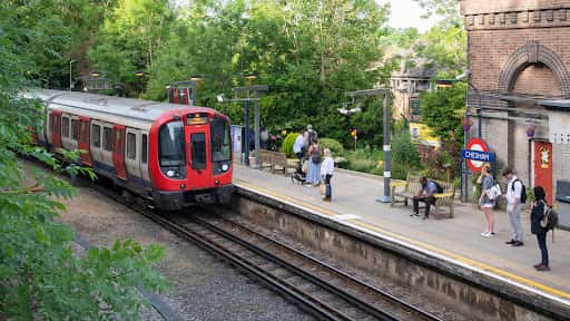
Transport for London
Transport for London’s official channel offers English-language coverage of London’s transport network, including updates, behind-the-scenes features,...
FocusTransport Systems Rail & Transit
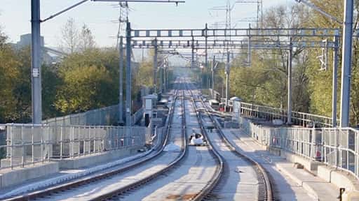
Transport Matters
Transport reporting and history are distilled into short films on railways, roads, metro systems and major West Midlands projects. Recent uploads...
 Top Pick
FocusConstruction Methods Megaprojects
The B1M
Construction projects, engineering ambition and the built environment are presented through a dedicated video format hosted by Fred Mills. A...
 Top Pick
FocusUrban Planning Transport Systems
Not Just Bikes
Not Just Bikes examines urban planning and everyday city experiences, with particular attention to why Dutch cities function differently. Its work is...